Paya Lebar Air Base
Paya Lebar Air Base will be relocated from the 2030s onwards to make way for more homes within a new mixed-use district.
Last updated 2 June 2026
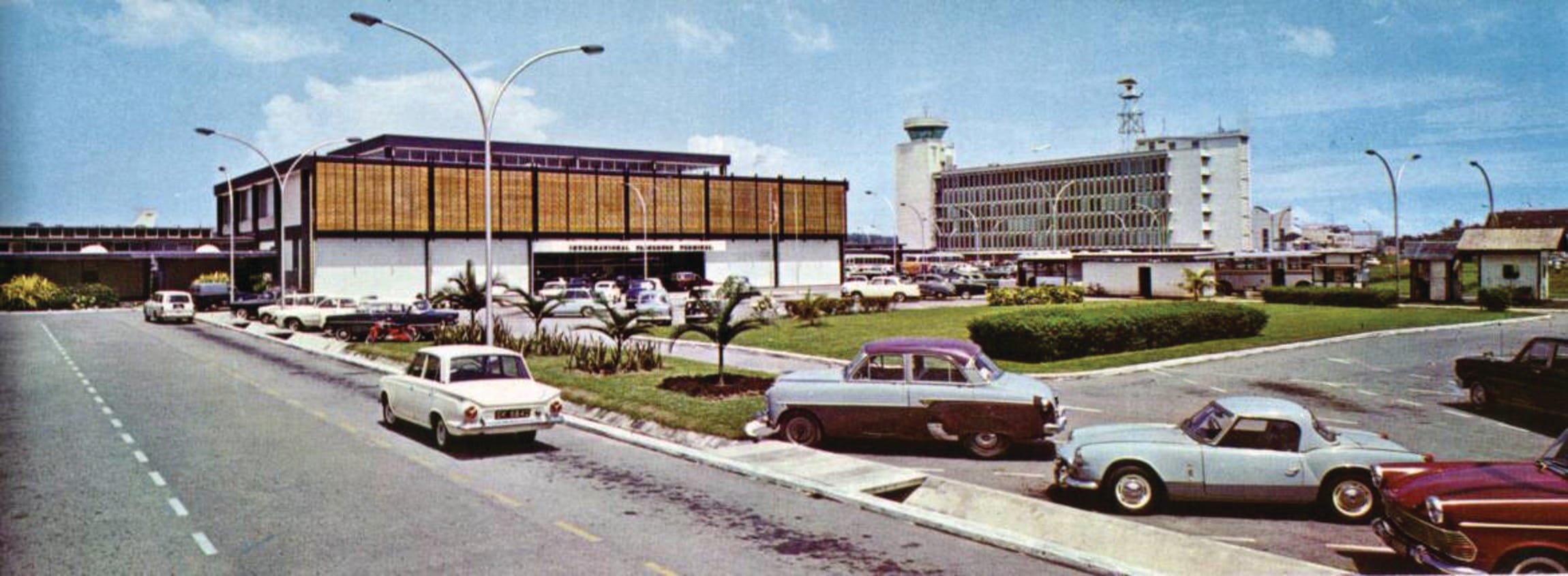
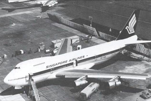
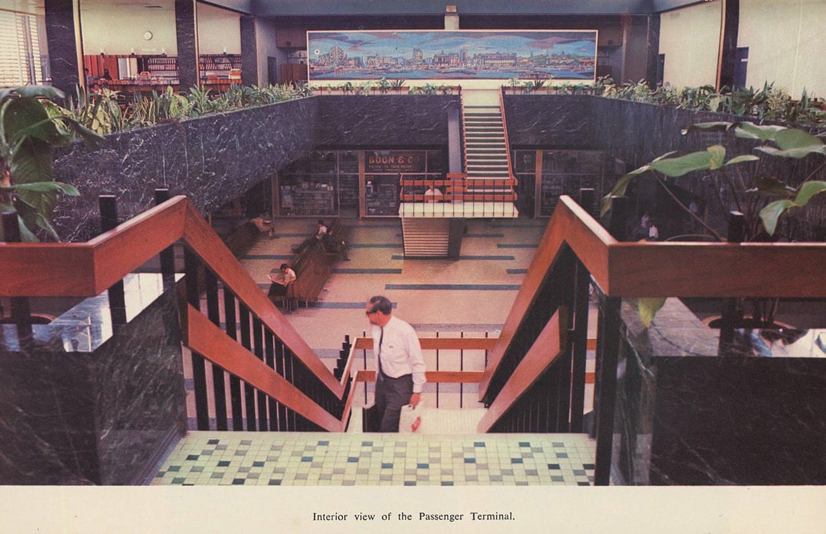
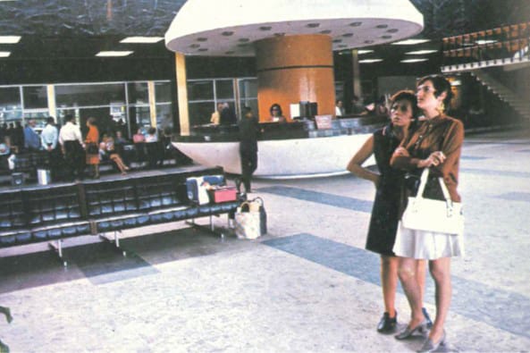
Peering down memory lane
A site rich in aviation history, Paya Lebar Airport officially opened on 20 August 1955 as Singapore's second civilian airport. It was converted into Paya Lebar Air Base after the opening of Changi Airport in 1981.
The next flight
From the 2030s onwards, the Paya Lebar Air Base (PLAB) will make way for a new town in the east of Singapore. It will be redeveloped in phases, starting with Defu, a new-generation neighbourhood next to PLAB. The new town is envisioned to be community-centric and future-ready to cater to evolving needs and lifestyles. More workspaces will also be built for more people to live and work nearby.
Planning a new-generation town
The redevelopment of PLAB will be guided by the following strategies:
Creating
Creating self-sustaining, community-centric neighbourhoods with flexible community spaces.
Stitching
Stitching the town together with neighbouring communities, through transport, green and blue networks.

Leveraging
Leveraging heritage, such as the old airport structures and a section of the runway, to curate spaces for new social memories.
Reimagining our neighbourhoods
To gather ideas and strategies for PLAB’s neighbourhoods, URA invited teams from the National University of Singapore (NUS), the Singapore Institute of Architects (SIA) and the Singapore Institute of Planners (SIP) to develop concepts and visions for the future town.
5-minute interlaced township
By National University of Singapore (NUS)
A scalable pedestrian-centric neighbourhood where roads are planned at the borders with a good distribution of homes, jobs and amenities within.
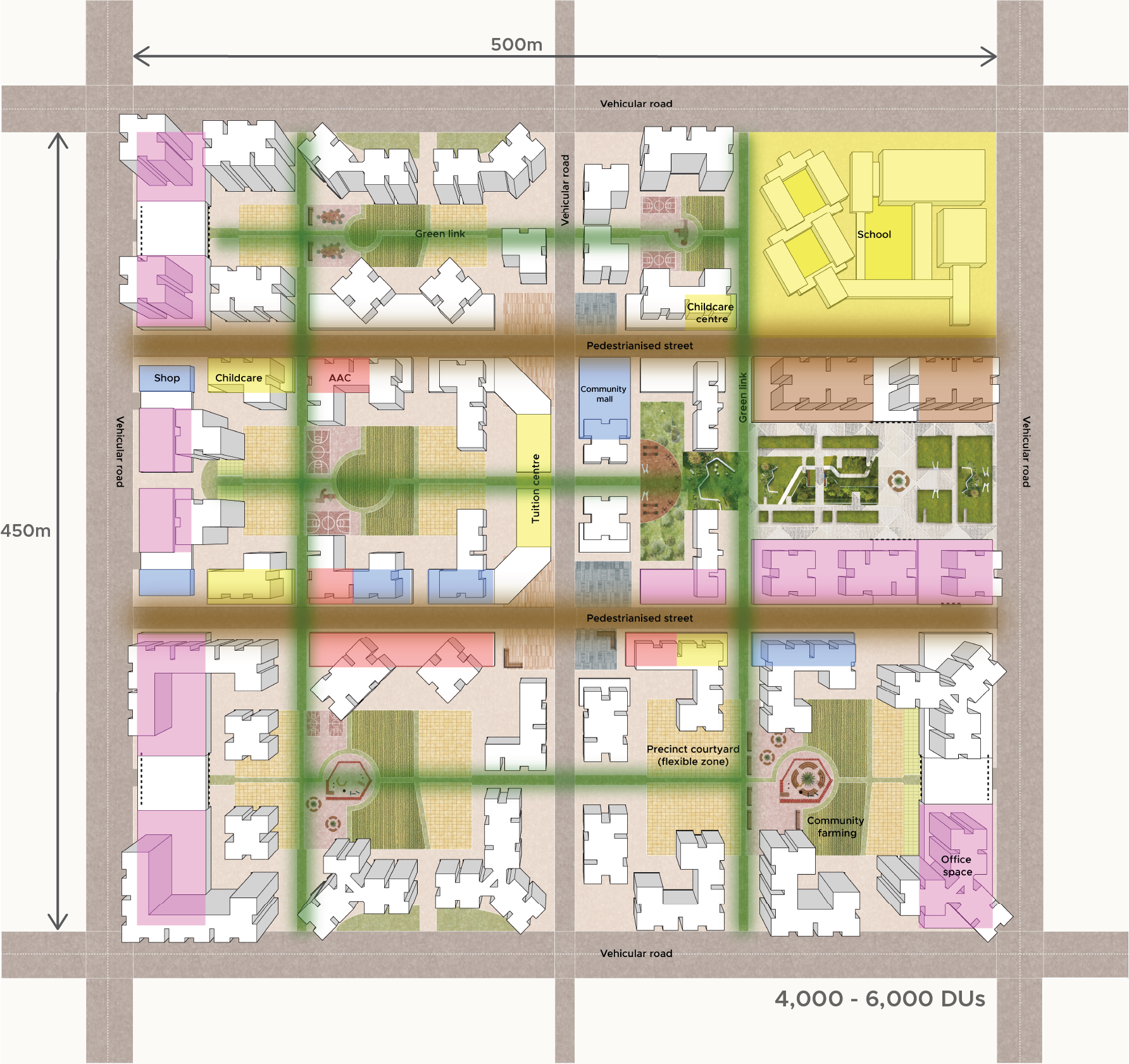
Source: NUS
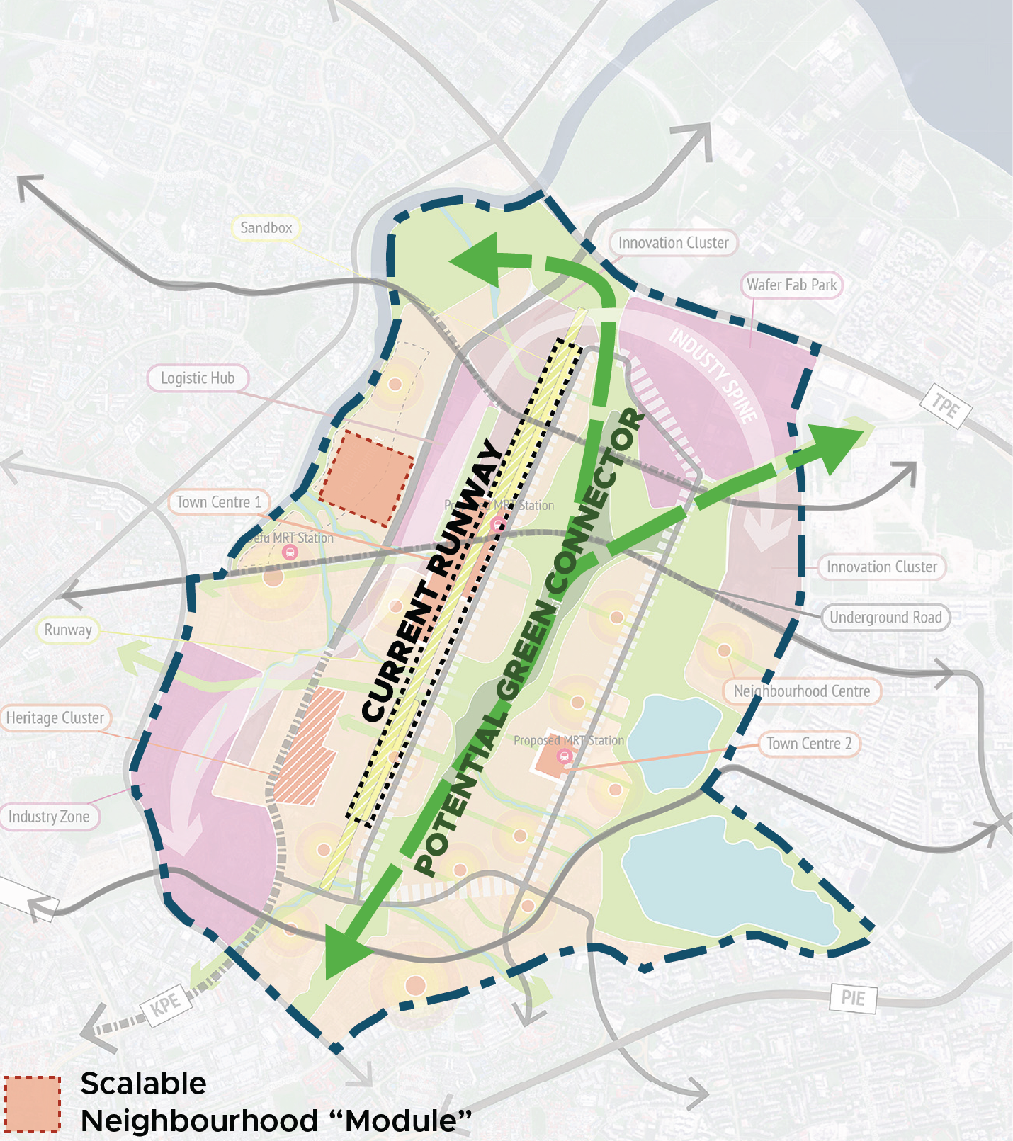
Conceptual Structure Plan (NUS)
The “module” neighbourhood is applied across the masterplan and anchored by two key elements - the repurposed runway and a central linear park. These “modules” are connected to one another via smaller linear parks and waterways that also promotes easy access to amenities within a 5-minute walk.
Self-sustaining and community-centric neighbourhood
By Singapore Institute of Architects (SIA) and Singapore Institute of Planners (SIP)
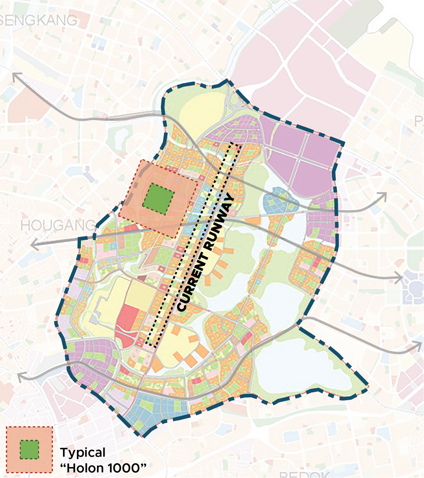
A set of self-sufficient urban modules called “Holons” with jobs and amenities that can function independently or come together to create interconnected neighbourhood in different sizes.
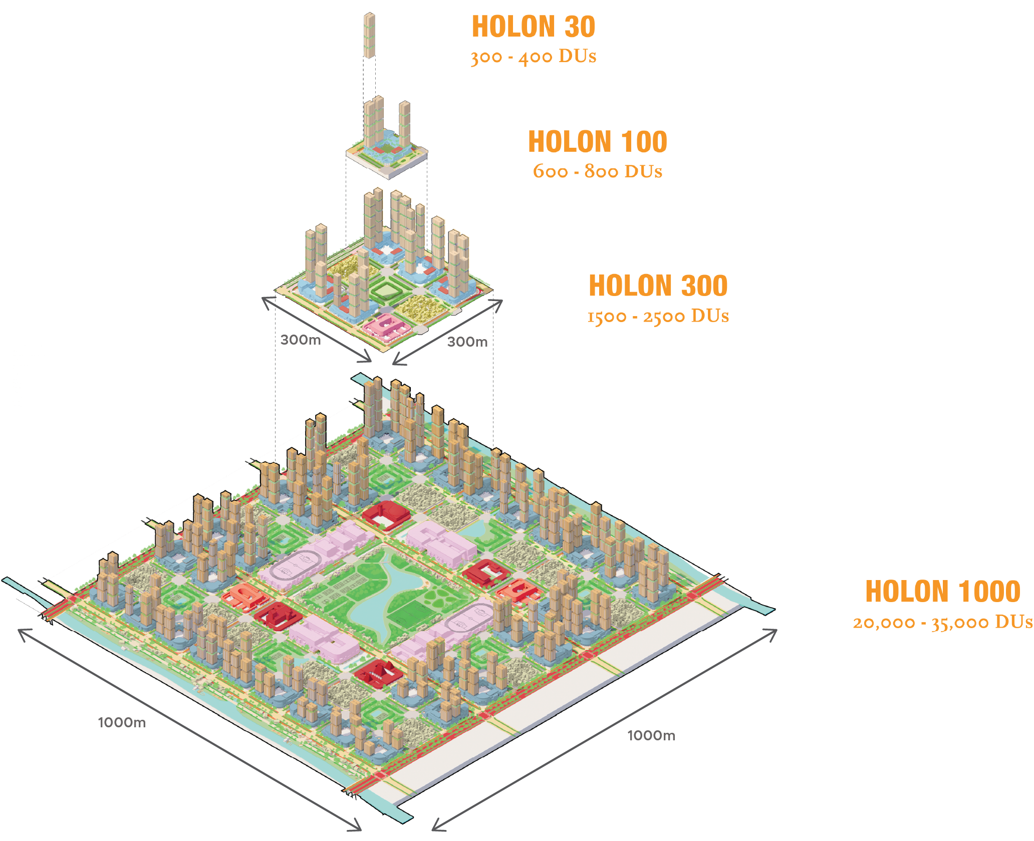
Source: SIA, SIP
Conceptual Master Plan (SIA, SIP)
“Holon” units can come together to form large neighbourhoods, each with a sizeable centralised park. This concept looks to retain the runway while distributing greenery more widely across the area through neighbourhood parks.
Quality living in a town of tomorrow
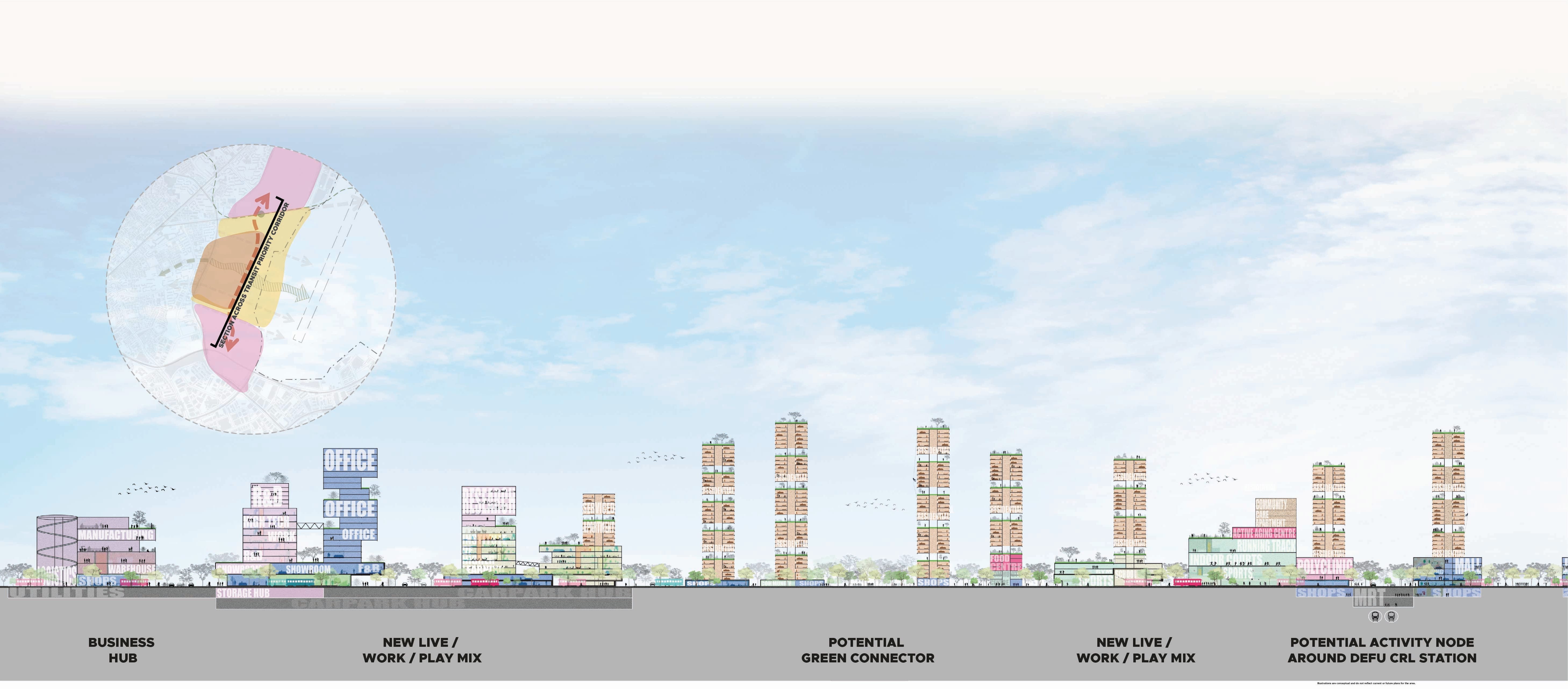
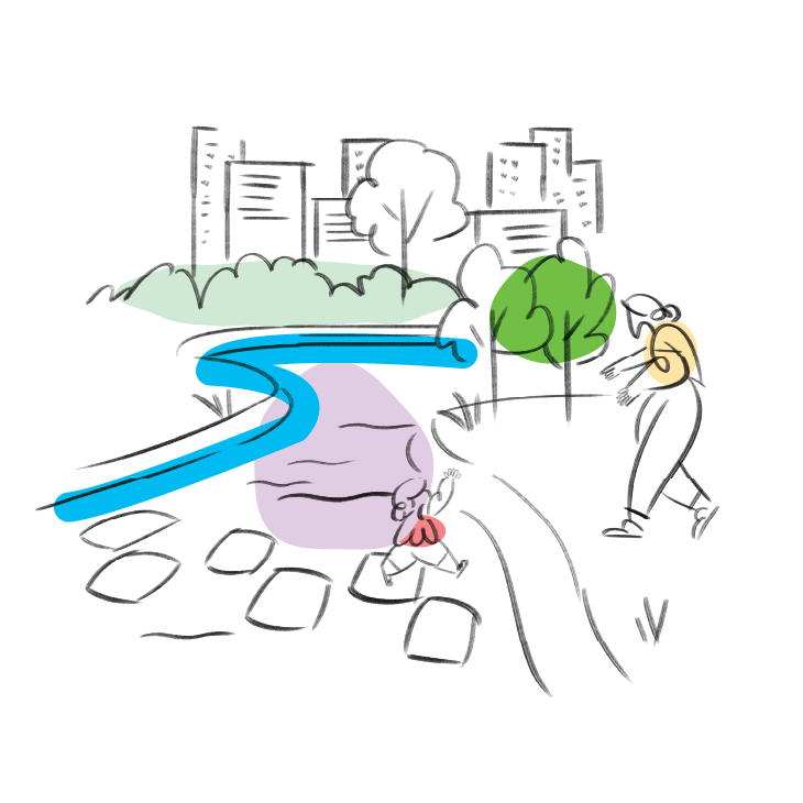
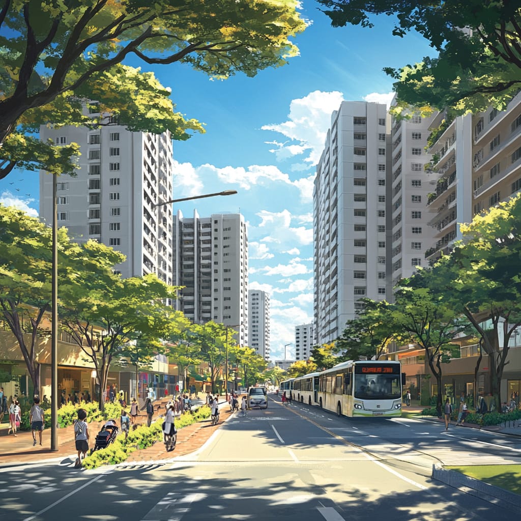
Seamless multi-modal movement for all
Comprehensive walking and cycling networks, the upcoming Cross Island Line and transit priority corridors will enable people of different ages and types of mobility to get around without a car.
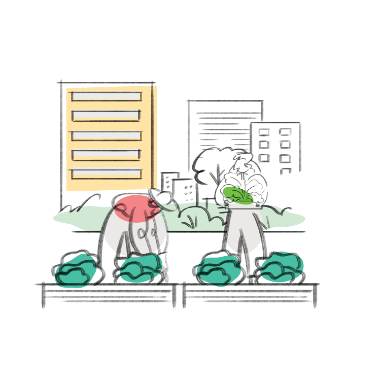
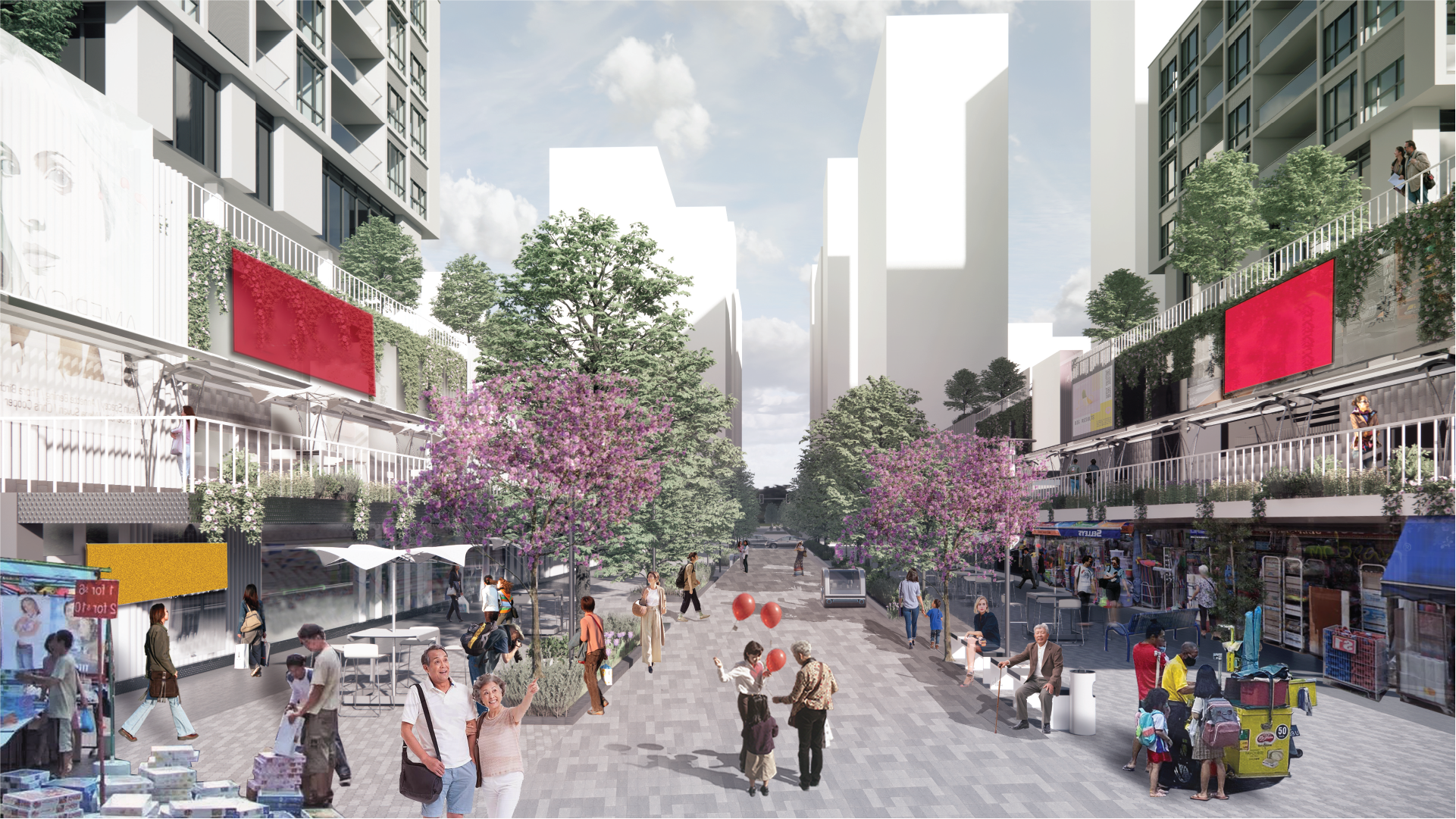
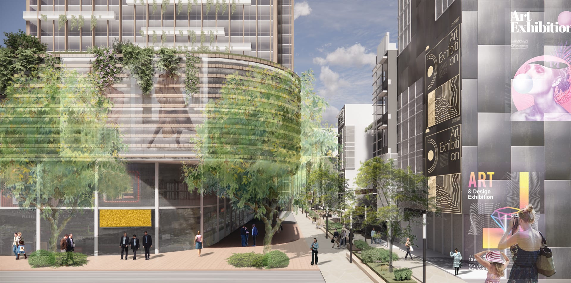
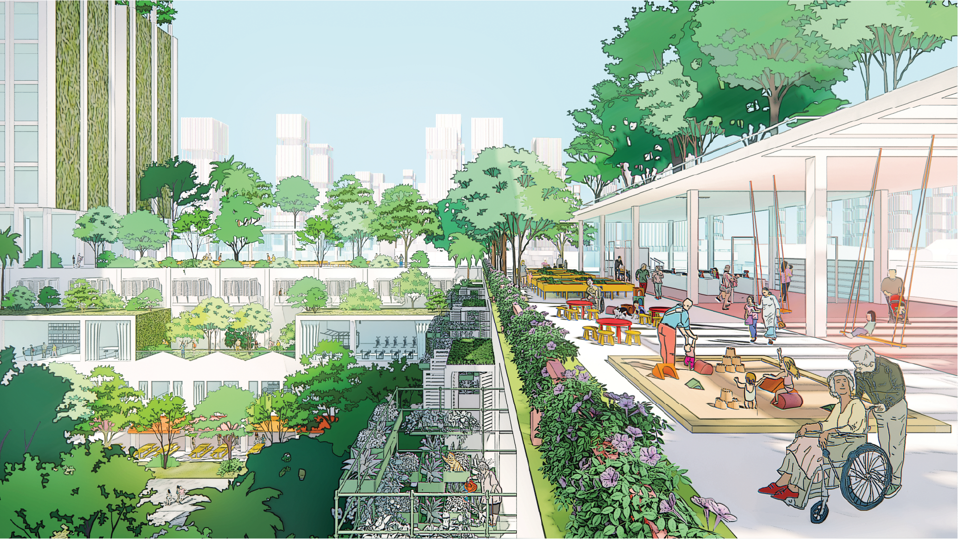
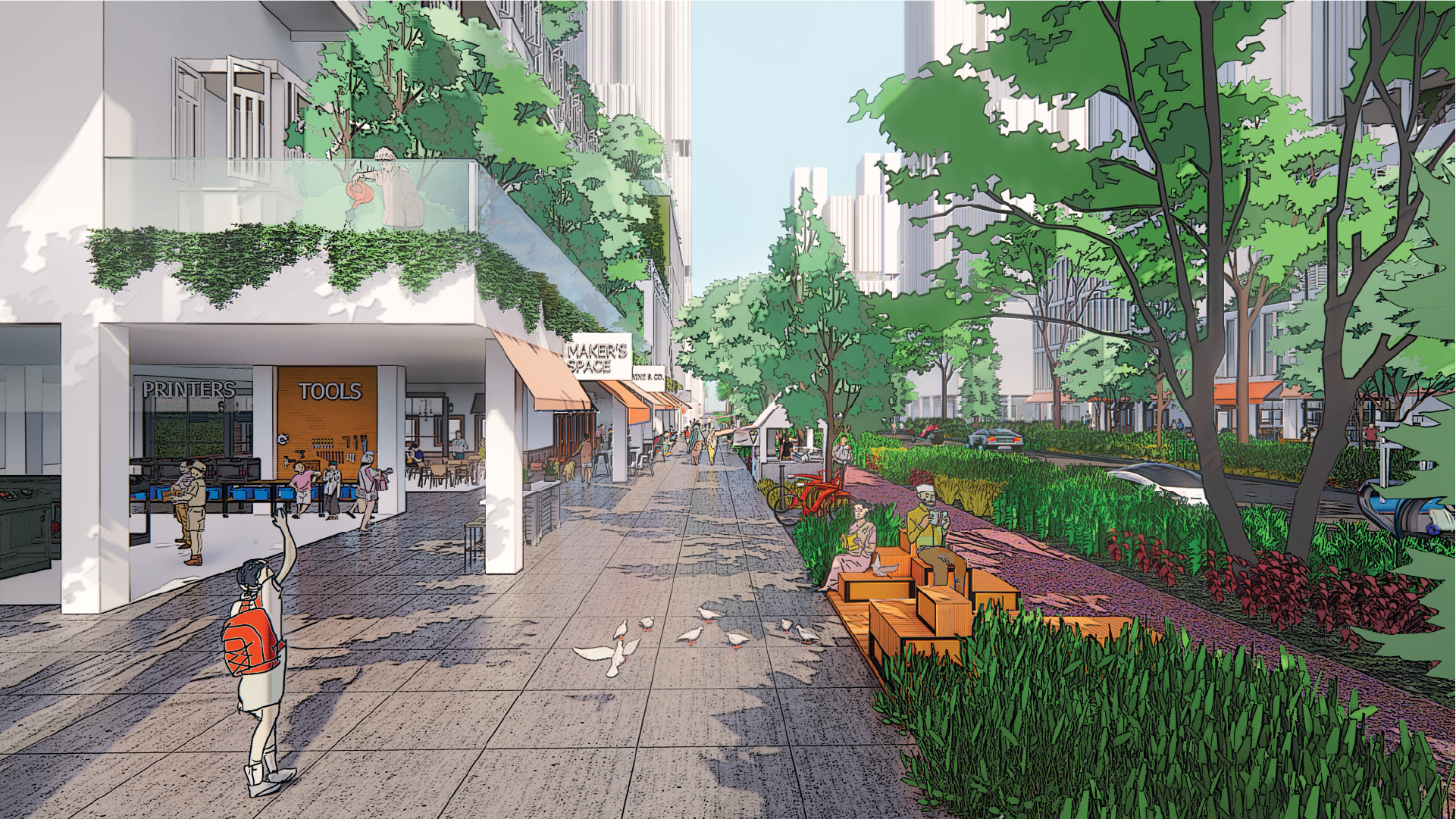
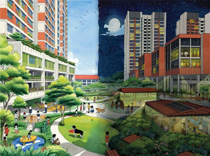
Live-work-play-learn-make-rest
Spaces can be creatively integrated for different activities in novel combinations. This enables new living patterns that combine homes with various amenities, work and community spaces to create vibrant neighbourhoods.
Flexible and resilient community
Multi-functional and adaptable spaces can evolve with changing needs while supporting community interactions and nurturing a sense of belonging. They include flexible spaces that can be adapted to different uses and needs throughout the day.

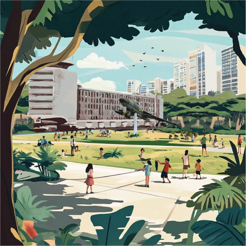
Harmonious blend of nature and heritage
By integrating some elements of the aviation heritage and natural assets into the daily lives of the new community, we recall the past and create spaces for new memories.
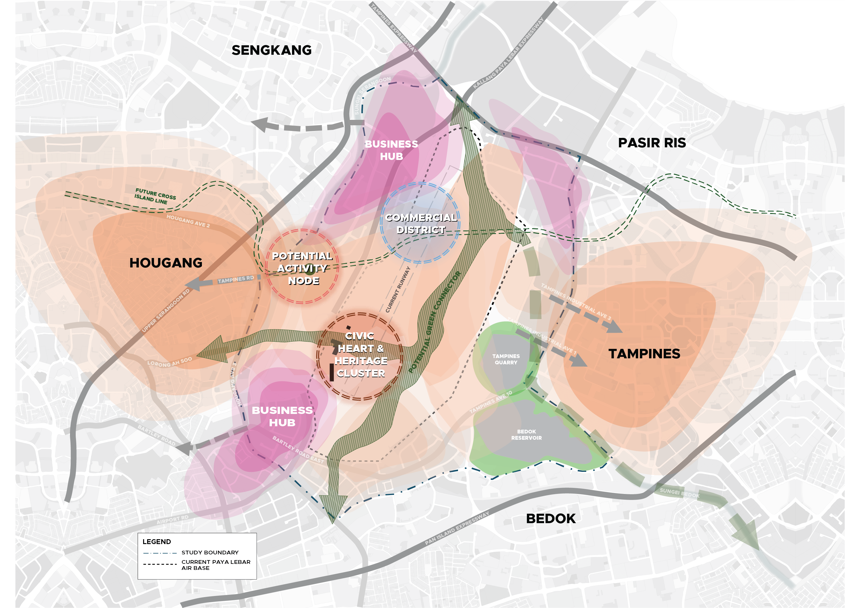
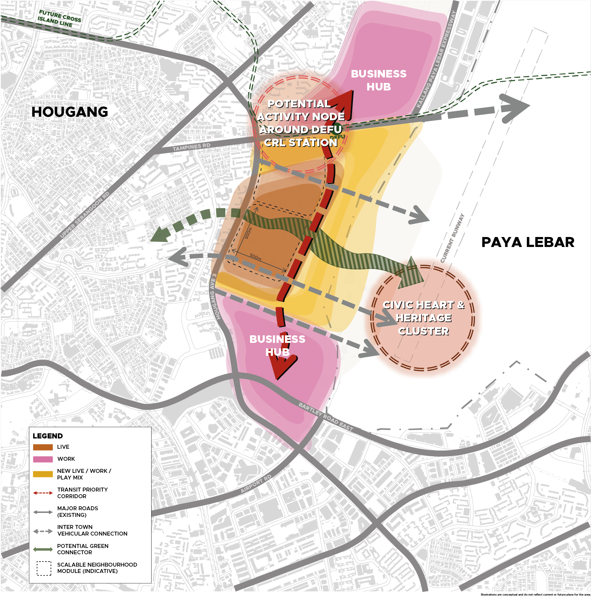
Shaping a future-ready neighbourhood in Defu
Being immediately next to PLAB, Defu will be redeveloped first as a community-oriented 10-minute neighbourhood. The planned civic heart will encompass some of the former airport buildings that will be adaptively reused to foster social memories of the area’s rich aviation history. Transport, green and blue networks will effectively stitch up the whole neighbourhood.
Better below
Logistics activities such as e-commerce sorting hub can potentially be built underground or integrated within multi-storey carparks (i.e. courier hubs).